

| Quick Answer Hurricane Polo is a fast-strengthening storm in the eastern Pacific, moving slowly off the coast of southwestern Mexico. Forecasters expect it to become a major hurricane within 24 to 48 hours, with winds potentially reaching Category 5 strength later this week. The core is forecast to stay offshore, but Guerrero, Michoacán, Oaxaca, Colima and Jalisco face heavy rain, flooding and dangerous surf. The storm may later curve north-northwest toward Baja California. Always check the National Hurricane Center for the newest advisory, since the track remains uncertain. |
Hurricane Polo path today shows a rapidly intensifying storm moving slowly off the southwestern coast of Mexico. As local residents and forecasters track its progress, official updates indicate that the storm could reach major hurricane strength within the next 24 to 48 hours.
Hurricane Polo is intensifying at a rapid pace, and the unfortunate residents of Mexico’s Pacific coast, as well as the weather channel viewers, are eager to know essential survival information. What direction will the hurricane turn? What strength category will it reach? Who will be affected by the disaster? All of the above questions will be answered in this report, based on the most recent data from the National Hurricane Center (NHC) and the National Oceanic and Atmospheric Administration (NOAA).
What Is Hurricane Polo?
Polo originated as a tropical storm forming off the coast of the southwestern Mexican border in September 2026. Warm waters combined with low windshear and abundant moisture provided the needed ingredients for rapid intensification of the developing storm system. Forecasts called for Polo to experience “rapid intensification” which means a tropical storm or hurricane’s winds increase by 35+ mph within 24 hours. Polo had already begun its transformation from a marginal tropical storm to a major hurricane-class system in less than 48 hours.
Hurricane Polo’s Current Path and Forecast Track
As of the latest advisory, Polo sat a couple of hundred miles off the coast, south-southeast of Manzanillo and southwest of Zihuatanejo. It was crawling along at walking pace, only about 5 mph, which is part of why forecasters are watching it so closely. A slow-moving storm can dump far more rain on one area than a fast-moving one.
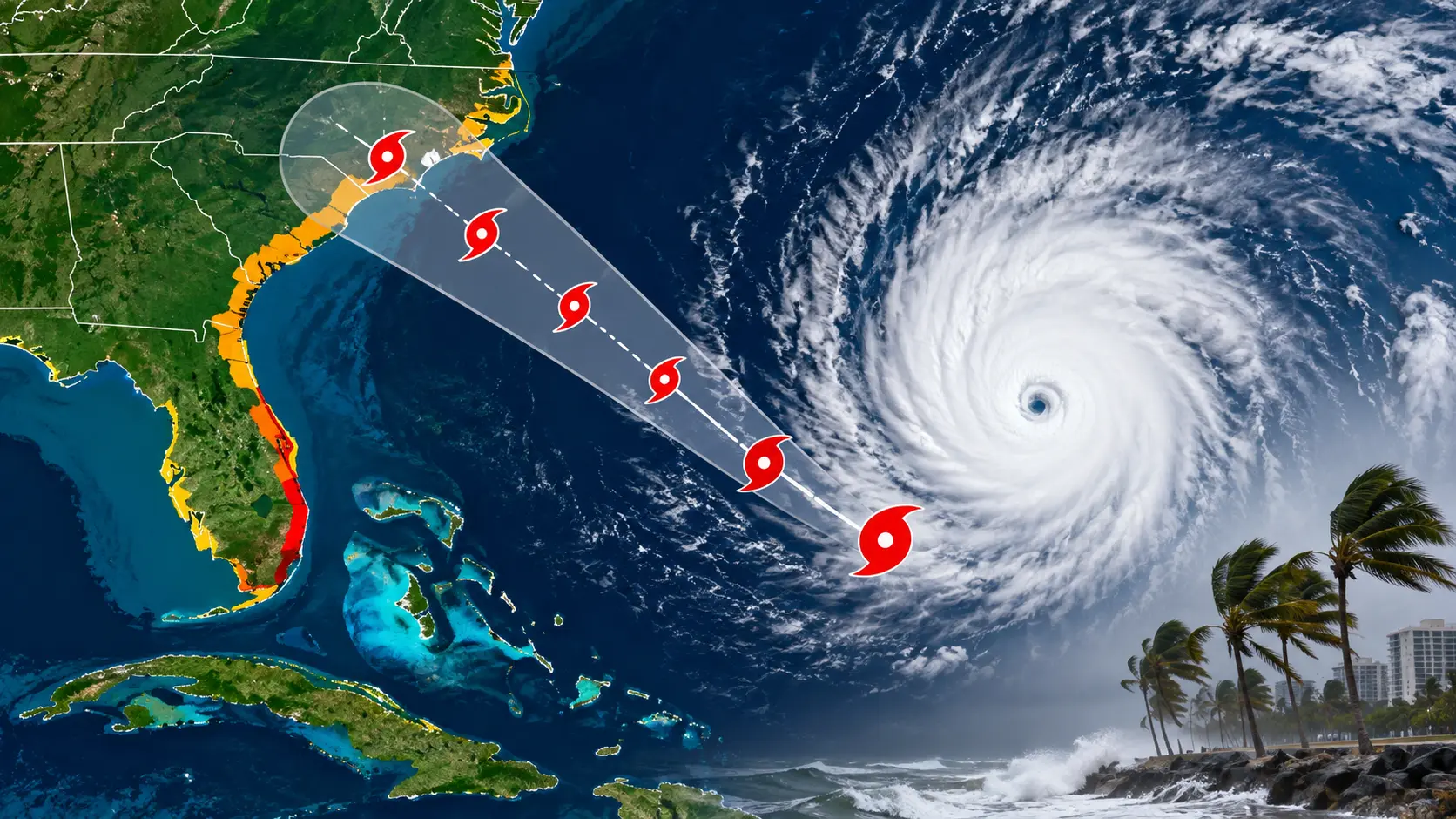
The forecast track shows Polo drifting east or southeast for a short spell, before a ridge of high pressure over Mexico nudges it toward the west-northwest and then north-northwest. That would carry the storm roughly parallel to the coast rather than straight into it, and later push it out toward open water south of the Baja California Peninsula.
Here’s the catch: the NHC itself has labelled this track forecast “low confidence,” with a wide spread between different weather models. Some show Polo staying well offshore. Others bring it much closer to land. That’s exactly why it pays to check for updates rather than relying on a single forecast map.
How Strong Will Hurricane Polo Get?
This is where things get serious. The official forecast has Polo’s winds climbing quickly:
- Roughly 100 mph within about 24 hours
- Around 145 mph by the following evening
- Near 160 mph shortly after that, which would make Polo a Category 5 storm
That kind of jump, from tropical storm to potential Category 5, in under three days would put Polo in genuinely rare territory. Sea surface temperatures beneath the storm are sitting above 86°F, well above the threshold hurricanes need to thrive, and there’s very little wind shear to knock it off balance.
A nearby system, Tropical Storm Odalys, is also expected to become a hurricane and could interact with Polo later in the week, which adds another layer of uncertainty to both storms’ paths.
Which Areas Are Most at Risk?
Even though the core of Polo is forecast to stay offshore, hurricanes don’t need a direct hit to cause damage. Here’s who should be paying attention:
- Guerrero and Michoacán (Mexico): Expect 4 to 8 inches of rain, with isolated pockets up to 12 inches. That’s enough to trigger flash flooding and mudslides, especially on steep terrain.
- Oaxaca, Colima and Jalisco (Mexico): Forecast to see 3 to 6 inches of rain through the week.
- Coastal communities from Tecpan de Galeana to Punta San Telmo: Under a Tropical Storm Watch, meaning tropical-storm-force winds are possible within days.
- Baja California and the south-west United States: If the storm’s later northward turn holds up, moisture from Polo could stretch surge northward, raising rainfall chances further up the coast.
Beachgoers anywhere along Mexico’s Pacific coast should also expect dangerous surf and rip currents starting well before the storm arrives, since swells travel out ahead of a hurricane’s centre.
Why Is Hurricane Polo Intensifying So Quickly?
Three ingredients are lining up almost perfectly for Polo right now:
1. Very warm water. Ocean temperatures above 86°F run deep beneath the surface, so the storm isn’t just skimming a thin layer of warmth, it’s sitting over a genuine heat reservoir.
2. Low wind shear. Shear is the change in wind speed and direction with height. When it’s weak, a storm can build a tight, well-organised structure without getting torn apart.
3. Abundant moisture. Plenty of moist air feeds the thunderstorms that power a hurricane’s engine.
Meteorologists also point to unusually strong El Niño conditions this year, which have made Pacific waters even warmer than average, giving storms like Polo extra fuel.
What Should You Do If You’re in Polo’s Path?
- Follow official NHC and local emergency advisories, not just headlines or social media.
- If you’re in a flood-prone or coastal area of Guerrero, Michoacán, Oaxaca, Colima or Jalisco, prepare for heavy rain and possible evacuation notices.
- Avoid the water. Rip currents and dangerous surf often arrive a day or two before the storm itself.
- Keep an emergency kit ready: water, torch, power bank, medication and important documents.
- If you’re travelling to the Mexican Pacific coast or Baja California this week, check your airline and hotel’s storm policies before you go.
Why This Story Keeps Changing
Hurricane tracks are genuinely difficult to pin down more than a day or two out, especially with a slow-moving storm sitting in weak steering currents like Polo. That’s why the NHC updates its advisories every few hours. Bookmark the official tracker rather than relying on a single snapshot, because a storm’s path and strength can shift noticeably between updates.
Frequently Asked Questions
Is Hurricane Polo going to hit Mexico directly?
The current forecast keeps Polo’s core offshore, moving roughly parallel to the coast, but forecasters admit the track has low confidence. Coastal areas should still prepare for heavy rain, wind and dangerous surf even without a direct hit.
How strong is Hurricane Polo right now?
Polo has been strengthening rapidly and is forecast to become a major hurricane, potentially reaching Category 5 strength with winds near 160 mph within a few days of forming.
Which areas face the highest risk from Hurricane Polo?
Guerrero and Michoacán face the heaviest expected rainfall and highest flood and mudslide risk, followed by Oaxaca, Colima and Jalisco. A Tropical Storm Watch covers the coast from Tecpan de Galeana to Punta San Telmo.
Could Hurricane Polo affect the United States?
If Polo’s forecast turn toward the north-northwest holds, moisture from the storm could reach Baja California and stretch toward the south-western United States, though this remains uncertain days out.
Where can I get live updates on Hurricane Polo?
The National Hurricane Center (nhc.noaa.gov) issues official advisories every few hours and remains the most reliable source for the latest path, intensity and warnings.
Conclusion
Hurricane Polo is a fast-moving story in every sense, even though the storm itself is barely crawling along the map. The safest approach is simple: keep an eye on official NHC updates, take any watches or warnings in your area seriously, and don’t wait until the last minute if you’re in a flood-prone zone. Storms like Polo can shift track and strength quickly, so a little caution now goes a long way.
Resources and Further Reading
National Hurricane Center — Hurricane Polo advisories
Yale Climate Connections — Hurricane Polo analysis
The Watchers — Tropical Storm Polo coverage
Note: this is a fast-changing weather event. Figures above reflect forecasts issued in September 2026; always confirm the latest numbers directly with the NHC before making travel or safety decisions.