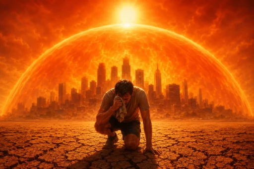
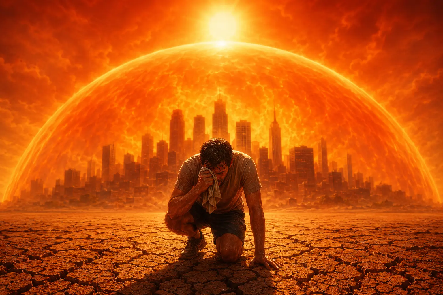
Step outside almost anywhere east of the Rockies right now, and the air itself feels like an obstacle. It’s thick. It’s heavy. Within minutes, you’re sweating just standing still. This isn’t your imagination, and it isn’t a normal summer scorcher. It’s the extreme heat wave of 2026, and it’s one of the most dangerous weather stories in the country this year.
Nearly 150 million Americans are currently living under heat alerts. Cities from Chicago to Washington, D.C., are flirting with all-time temperature records. And it’s all happening right as families head outdoors to celebrate the Fourth of July — the country’s 250th birthday — making this heat wave impossible to ignore.
So what exactly is going on up there in the sky, and why does this particular heat wave feel so much worse than the ones we’re used to? Let’s break it down, plainly and honestly.
What Makes This an Extreme Heat Wave
A heat wave, in simple terms, is a stretch of days where temperatures run far above what’s normal for the season and the location. What makes the 2026 event “extreme” isn’t just one hot afternoon — it’s the sheer size of the area affected, the number of records at risk, and how many consecutive days the heat is expected to linger without a break.
Meteorologists are watching cities set daily records one after another. Washington, D.C., is forecast to see its hottest Fourth of July ever recorded, potentially topping the old mark set back in 1919. New York City could hit triple-digit heat for the first time in over a decade. That kind of widespread, back-to-back record-breaking is what separates an “extreme” heat wave from an ordinary hot week.
What Is a Heat Dome, and How Does It Form?
You’ve probably heard the phrase “heat dome” a lot this week, but what does it actually mean?
Picture a giant lid placed over a pot of boiling water. That lid traps steam and heat inside, and the temperature underneath keeps climbing because nothing can escape. A heat dome works almost the same way, except the “lid” is a massive area of high pressure sitting in the atmosphere.
Here’s how it happens: the jet stream — a river of fast-moving air high above the Earth — sometimes gets stuck in a slow, wavy pattern instead of flowing steadily west to east. When that happens, a bubble of high pressure can settle in one spot and stay there for days, even weeks. Climate scientists have noted that these “stuck” jet stream patterns have become more frequent in recent decades, a trend tied to a warming planet.
Underneath that high-pressure bubble, air sinks toward the ground. As it sinks, it compresses and heats up even further, like air being pushed down in a bicycle pump. That sinking, warming air also blocks clouds from forming, which means unfiltered sunshine bakes the ground day after day with no relief.
Trapped Air, Rising Temperatures
Once a heat dome parks itself over a region, it doesn’t just create one hot day — it creates a feedback loop. The ground heats up. That heat radiates back into the air. The high pressure keeps storms and cooler air masses from pushing in. And so the heat simply builds, day after day, with nowhere to go.
This is exactly what’s happening across the central and eastern U.S. right now. The heat dome has been described as “stagnating,” trapping hot, humid air over an enormous stretch of the country from the Great Plains to the Atlantic Coast.
The Heat Index: Why It Feels So Much Hotter
You may have seen a headline saying temperatures will “feel like” 110 or even 115 degrees, even though the thermometer reads something lower. That “feels-like” number is the heat index, and it’s arguably more important than the actual air temperature.
The heat index combines temperature and humidity to estimate how hot it truly feels to the human body. Here’s why humidity matters so much: your body cools itself by sweating, and that sweat has to evaporate off your skin to actually cool you down. When the air is already thick with moisture, sweat can’t evaporate efficiently. It just sits on your skin, and your internal cooling system essentially stalls out.
That’s why a 96-degree day with high humidity can feel more brutal — and be more dangerous — than a 102-degree day in dry air. In parts of the central and eastern U.S. this week, the heat index is expected to climb as high as 115 degrees Fahrenheit.
Where the Heat Is Hitting Hardest
This heat wave isn’t sparing any single region. Baltimore and Washington, D.C. are within a few degrees of their all-time record highs. Philadelphia is forecast to tie its hottest July temperature ever. Boston, Richmond, Raleigh, Chicago, Detroit, St. Louis, Dallas, and Nashville have all seen thermometers climb to their highest readings of the year. In Virginia, forecasters say this could be the most significant heat event the region has seen since 2012 — a heat wave that, tragically, was linked to more than 30 deaths across four states.
Why Hot Nights Are a Hidden Danger
We tend to picture heat danger as a daytime problem, but overnight heat is quietly one of the biggest health threats in events like this. Normally, your body gets a break after sunset as temperatures drop, giving your heart and internal systems a chance to recover from the day’s stress.
When nighttime lows stay in the 80s instead of dropping into the 60s or 70s, that recovery never happens. Homes without air conditioning never truly cool down. For people with heart conditions, the elderly, or anyone without reliable cooling, consecutive hot nights can be more dangerous than the daytime highs themselves.
Risks
Extreme heat doesn’t affect everyone equally, and this week’s event is a reminder of that.
Families and children face real risk, especially since kids’ bodies heat up faster than adults’ and they’re less likely to recognize when they need to stop and cool down.
Older adults often have chronic health conditions or take medications that affect the body’s ability to regulate temperature, making them especially vulnerable.
Outdoor workers — construction crews, landscapers, delivery drivers — have no choice but to be in the heat for hours at a time, often during the most dangerous parts of the day.
Pets can’t tell you they’re overheating. Hot pavement can burn paw pads within minutes, and dogs and cats can suffer heatstroke far faster than people realize.
Public infrastructure feels the strain too. Power grids get pushed to their limits as air conditioners run nonstop, roads and railways can warp under extreme heat, and hospitals often see a spike in emergency visits.
Heat Exhaustion vs. Heat Stroke: Know the Warning Signs
Knowing the difference between these two conditions can genuinely save a life.
Heat exhaustion warning signs include heavy sweating, cold or clammy skin, dizziness, nausea, headache, and muscle cramps. If you notice these symptoms, move to a cool place immediately, sip water, and loosen tight clothing.
Heat stroke is far more serious and is a medical emergency. Warning signs include a body temperature above 103°F, hot and dry skin (or sometimes heavy sweating), confusion, slurred speech, rapid pulse, and loss of consciousness. If someone shows these symptoms, call 911 immediately and try to cool them down while help is on the way.
Stay Safe
Experts consistently point to a few simple habits that make a real difference:
- Stay indoors during peak heat hours, generally late morning through late afternoon
- Drink water consistently, even if you don’t feel thirsty
- Wear light-colored, loose-fitting clothing
- Check on elderly neighbors and relatives daily
- Never leave children or pets in parked cars, even briefly
- Take frequent breaks if you must work or exercise outdoors
- Know the location of the nearest cooling center if your home lacks air conditioning
The Urban Heat Island Effect
If you live in a city, you may have noticed it always feels hotter downtown than in nearby suburbs or countryside. That’s not a coincidence — it’s called the urban heat island effect.
Concrete, asphalt, and buildings absorb heat throughout the day and slowly release it back into the air, even after sunset. With fewer trees and less green space to provide natural cooling, cities can run several degrees hotter than surrounding rural areas, especially at night. That’s part of why urban residents often face greater risk during heat waves like this one.
The Climate Change Connection
Scientists are careful not to blame any single heat wave entirely on climate change, but the broader pattern is well documented. Research shows the number of heat waves in the U.S. has roughly doubled since the 1980s. Warmer global temperatures mean that when a heat dome does form, it’s building on top of an already hotter baseline.
As one climate researcher put it, the “floor” is simply warmer than it used to be, so extreme heat events now reach more dangerous peaks than they did a generation ago. Rising ocean temperatures, partly influenced by El Niño patterns, are also adding extra moisture and energy into the atmosphere, which can intensify these events further.
Behind every temperature record is a real person — a grandmother without air conditioning, a construction worker finishing a shift in blistering heat, a family trying to keep their kids safe at a Fourth of July parade. Numbers on a weather map can feel abstract, but the risk they represent is anything but.
This heat wave will eventually break. The jet stream will shift, temperatures will ease, and life will return to normal. But these events are becoming more common, not less, and that’s a trend worth taking seriously.
The best thing any of us can do right now is simple: stay informed, stay hydrated, and stay connected to the people around us — especially those who are more vulnerable to the heat than we are. Check in on an elderly neighbor. Bring your pet inside. Give an outdoor worker a bottle of cold water if you can. Small acts of care go a long way during a heat wave like this one.
Stay cool, stay safe, and look out for one another. That’s how communities get through extreme weather — together.